7.1-magnitude temblor rattles South Pacific islands

An earthquake measuring 7.1 on the Richter scale has struck in the Pacific between Papua New Guinea and the Solomon Islands, triggering a tsunami warning.
The US Geological Survey (USGS) said the tremor struck at 0710 GMT on Thursday at a depth of 23.2 kilometers (14.4 miles).
The quake occurred some 144 kilometers (89.4 miles) southwest of the town of Panguna in Papua New Guinea and 642 kilometers (398.9 miles) from the Solomon Islands’ capital city of Honiara, the USGS added.
The agency had initially reported the earthquake's magnitude at 7.2 at a depth of 22 kilometers (13.6 miles), but later revised the figures.
A 5.5-magnitude aftershock also hit at 1133 GMT at a depth of 10 kilometers (6.2 miles) in the same area.
Meanwhile, the Pacific Tsunami Warning Center announced that hazardous waves for coasts within 300 kilometers (186.4 miles) of the epicenter were possible.
However, the center later lifted the warning, saying, "there is no longer a tsunami threat from this earthquake".
Geoscience Australia's senior seismologist, Jonathan Bathgate, told AFP that no serious damage to the affected area was expected, adding, "The coastlines there are sparsely populated, so we do tend to find that even if there's a small tsunami, it largely goes unnoticed."
The area around Papua New Guinea has been rattled by a number of earthquakes over the past week.
On April 30, a 6.7-magnitude earthquake occurred 131 kilometers (81 miles) southwest of Kokopo town. The epicenter of the tremor was 43 kilometers (27 miles) deep.
On May 5, a 7.4 magnitude tremor also hit the same area at a depth of 63 kilometers (39.1 miles) and was followed by a 5.9-magnitude aftershock.
SSM/KA/SS
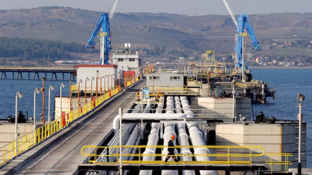
Israel’s Azerbaijani oil imports via Turkey surged in 2025: Report

100 writers pull out of Australia arts event after Palestinian author disinvited
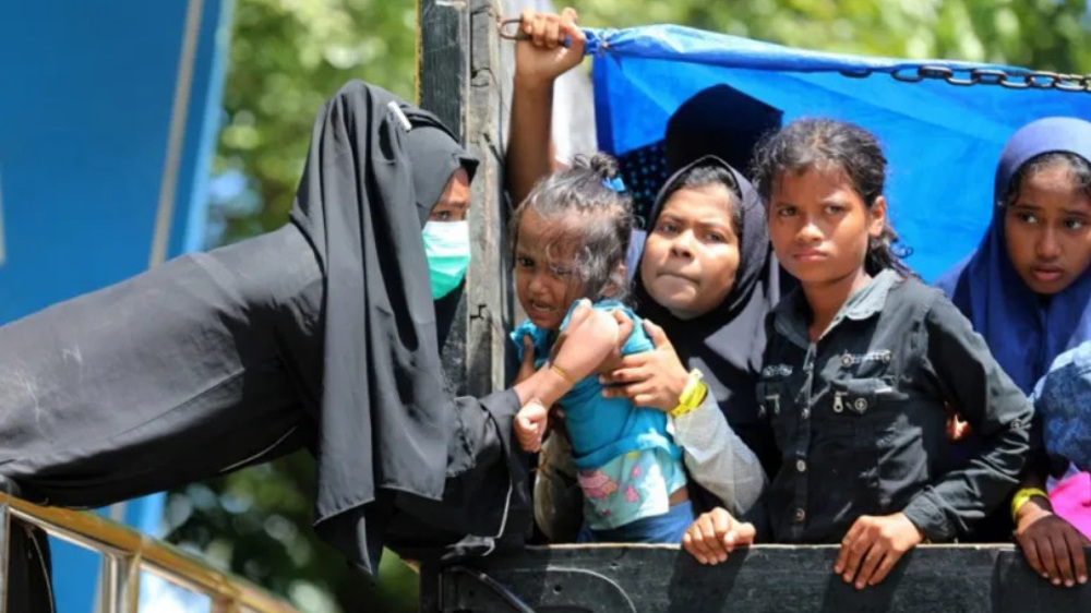
ICJ to start hearings on Rohingya genocide case against Myanmar


Iran's Armed Forces warn EU of ‘consequences’ of IRGC designation
Iran FM: EU’s blacklisting of IRGC a ‘major strategic mistake’
EU blacklists IRGC in legally flawed move irrespective of consequences
VIDEO | Press TV's news headlines
VIDEO | Afghanistan opens first specialized cancer hospital
Trump officials held secret talks with Canadian separatist group: Report
VIDEO | Pakistan’s legal community condemns UNHRC anti-Iran resolution
Resistance groups announce volunteer recruitment to defend Iran